
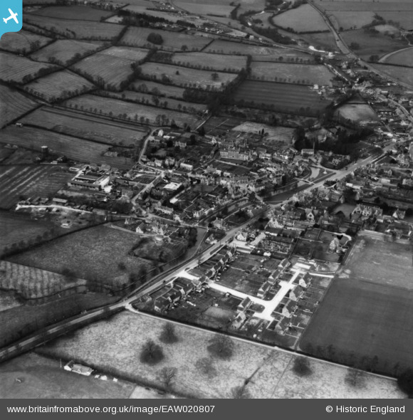
EAW020807 ENGLAND (1949). The village, Bourton-on-the-Water, 1949. This image has been produced from a print.
© Copyright OpenStreetMap contributors and licensed by the OpenStreetMap Foundation. 2026. Cartography is licensed as CC BY-SA.
Nearby Images (7)
EAW020807

EAW020808

EAW020812

EAW020813

EAW020811

EAW020809

EAW049242

Details
| Title | [EAW020807] The village, Bourton-on-the-Water, 1949. This image has been produced from a print. |
| Reference | EAW020807 |
| Date | 20-January-1949 |
| Link | |
| Place name | BOURTON-ON-THE-WATER |
| Parish | BOURTON-ON-THE-WATER |
| District | |
| Country | ENGLAND |
| Easting / Northing | 416817, 220517 |
| Longitude / Latitude | -1.7556501160707, 51.882522240091 |
| National Grid Reference | SP168205 |


