
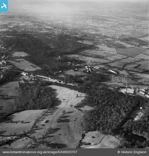
EAW020707 ENGLAND (1948). Brockley Hill and Stanmore Common, Stanmore, from the south-east, 1948
© Copyright OpenStreetMap contributors and licensed by the OpenStreetMap Foundation. 2026. Cartography is licensed as CC BY-SA.
Nearby Images (6)
EAW020707

EAW020706

EAW026806

EPW053050

EAW020705

EAW026807

Details
| Title | [EAW020707] Brockley Hill and Stanmore Common, Stanmore, from the south-east, 1948 |
| Reference | EAW020707 |
| Date | 17-December-1948 |
| Link | |
| Place name | STANMORE |
| Parish | |
| District | |
| Country | ENGLAND |
| Easting / Northing | 517163, 193404 |
| Longitude / Latitude | -0.30716340133394, 51.626769365099 |
| National Grid Reference | TQ172934 |
Pins

Matt Aldred edob.mattaldred.com |
Monday 14th of July 2025 02:57:32 PM |