
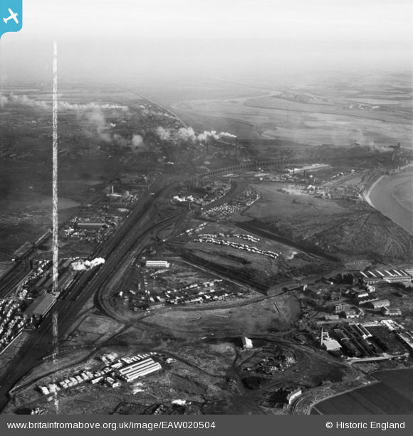
EAW020504 ENGLAND (1948). Ditton Marsh and the surrounding industrial area, Hale Bank, from the west, 1948. This image was marked by Aerofilms Ltd for photo editing.
© Copyright OpenStreetMap contributors and licensed by the OpenStreetMap Foundation. 2026. Cartography is licensed as CC BY-SA.
Nearby Images (8)
EAW020504

EAW020512

EAW020511

EAW020509

EPW014293

EAW002731

EAW002733

EAW002734

Details
| Title | [EAW020504] Ditton Marsh and the surrounding industrial area, Hale Bank, from the west, 1948. This image was marked by Aerofilms Ltd for photo editing. |
| Reference | EAW020504 |
| Date | 10-November-1948 |
| Link | |
| Place name | HALE BANK |
| Parish | HALEBANK |
| District | |
| Country | ENGLAND |
| Easting / Northing | 349278, 384403 |
| Longitude / Latitude | -2.7621237312085, 53.353808389479 |
| National Grid Reference | SJ493844 |
Pins

Ginger79 |
Tuesday 15th of June 2021 09:30:32 PM |