
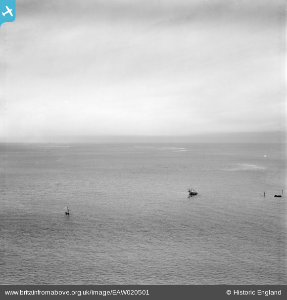
EAW020501 ENGLAND (1948). Wrecks on the Goodwin Sands, possibly the "Luray Victory", "Ira" and "Val Salice" (approximate location recorded), 1948
© Copyright OpenStreetMap contributors and licensed by the OpenStreetMap Foundation. 2026. Cartography is licensed as CC BY-SA.
Nearby Images (4)
EAW020501
, 1948")
EAW020499
, 1948")
EAW020498
, 1948")
EAW020500
, 1948")
Details
| Title | [EAW020501] Wrecks on the Goodwin Sands, possibly the "Luray Victory", "Ira" and "Val Salice" (approximate location recorded), 1948 |
| Reference | EAW020501 |
| Date | 9-November-1948 |
| Link | |
| Place name | |
| Parish | RINGWOULD WITH KINGSDOWN |
| District | |
| Country | ENGLAND |
| Easting / Northing | 646089, 148738 |
| Longitude / Latitude | 1.5218381604415, 51.184283654453 |
| National Grid Reference | TR461487 |
Pins
Be the first to add a comment to this image!