
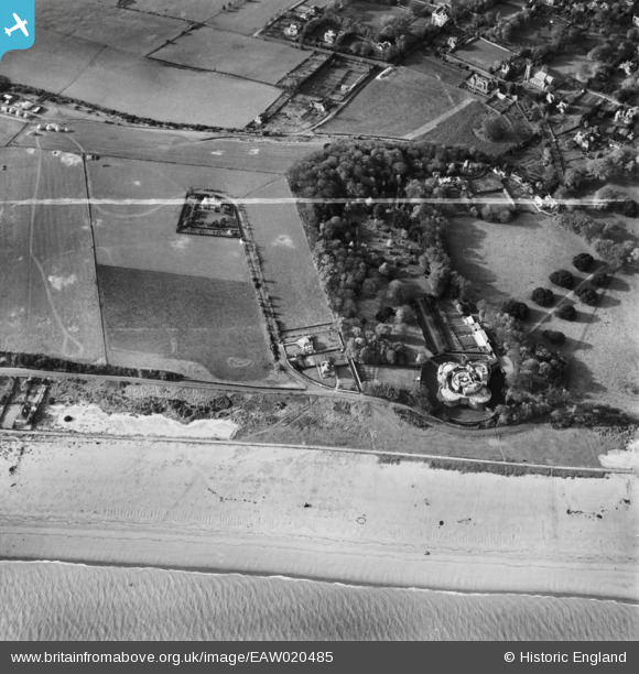
EAW020485 ENGLAND (1948). Walmer Castle and environs, Walmer, 1948. This image was marked by Aerofilms Ltd for photo editing.
© Copyright OpenStreetMap contributors and licensed by the OpenStreetMap Foundation. 2026. Cartography is licensed as CC BY-SA.
Nearby Images (10)
EAW020485

EPW035525

EPW009207

EAW014352

EAW014347

EAW014348

EAW014350

EAW014351

EAW014349

EPW035431

Details
| Title | [EAW020485] Walmer Castle and environs, Walmer, 1948. This image was marked by Aerofilms Ltd for photo editing. |
| Reference | EAW020485 |
| Date | 9-November-1948 |
| Link | |
| Place name | WALMER |
| Parish | WALMER |
| District | |
| Country | ENGLAND |
| Easting / Northing | 637699, 149948 |
| Longitude / Latitude | 1.4027986467625, 51.198696035878 |
| National Grid Reference | TR377499 |
Pins

Chris Kolonko |
Saturday 16th of September 2017 08:06:40 PM |