
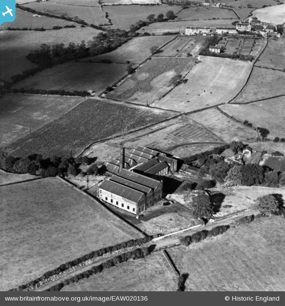
EAW020136 ENGLAND (1948). Whitley Willows Mill, Gawthorpe, 1948. This image has been produced from a print.
© Copyright OpenStreetMap contributors and licensed by the OpenStreetMap Foundation. 2025. Cartography is licensed as CC BY-SA.
Nearby Images (5)
EAW020136

EAW020138

EAW020139

EAW020137

EAW020140

Details
| Title | [EAW020136] Whitley Willows Mill, Gawthorpe, 1948. This image has been produced from a print. |
| Reference | EAW020136 |
| Date | 19-October-1948 |
| Link | |
| Place name | GAWTHORPE |
| Parish | KIRKBURTON |
| District | |
| Country | ENGLAND |
| Easting / Northing | 419570, 416662 |
| Longitude / Latitude | -1.7039251759719, 53.645866526193 |
| National Grid Reference | SE196167 |
Pins
Be the first to add a comment to this image!