
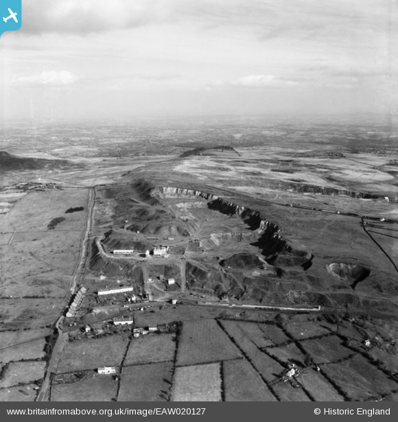
EAW020127 ENGLAND (1948). Dhu Stone Quarries, Clee Hill, from the south-west, 1948. This image has been produced from a print.
© Copyright OpenStreetMap contributors and licensed by the OpenStreetMap Foundation. 2024. Cartography is licensed as CC BY-SA.
Nearby Images (2)
EAW020127

EAW020128

Details
| Title | [EAW020127] Dhu Stone Quarries, Clee Hill, from the south-west, 1948. This image has been produced from a print. |
| Reference | EAW020127 |
| Date | 23-October-1948 |
| Link | |
| Place name | CLEE HILL |
| Parish | CAYNHAM |
| District | |
| Country | ENGLAND |
| Easting / Northing | 358842, 276042 |
| Longitude / Latitude | -2.6047299596814, 52.380484203589 |
| National Grid Reference | SO588760 |
