
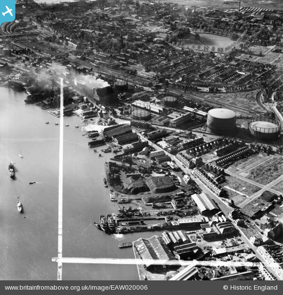
EAW020006 ENGLAND (1948). Dibles Wharf, Belvidere Road and environs, Southampton, 1948. This image was marked by Aerofilms Ltd for photo editing.
© Copyright OpenStreetMap contributors and licensed by the OpenStreetMap Foundation. 2026. Cartography is licensed as CC BY-SA.
Nearby Images (4)
EAW020006

EAW020003

EAW020009

EAW020005

Details
| Title | [EAW020006] Dibles Wharf, Belvidere Road and environs, Southampton, 1948. This image was marked by Aerofilms Ltd for photo editing. |
| Reference | EAW020006 |
| Date | 19-October-1948 |
| Link | |
| Place name | SOUTHAMPTON |
| Parish | |
| District | |
| Country | ENGLAND |
| Easting / Northing | 443095, 112108 |
| Longitude / Latitude | -1.3870179291697, 50.906280644888 |
| National Grid Reference | SU431121 |
Pins

Class31 |
Saturday 29th of August 2015 10:13:23 PM | |

KeithFP |
Sunday 28th of June 2015 10:43:01 AM | |
|
KeithFP |
Sunday 28th of June 2015 10:39:53 AM | |
|
Class31 |
Friday 30th of May 2014 08:55:41 PM | |
|
Class31 |
Friday 30th of May 2014 08:53:34 PM |


User Comment Contributions
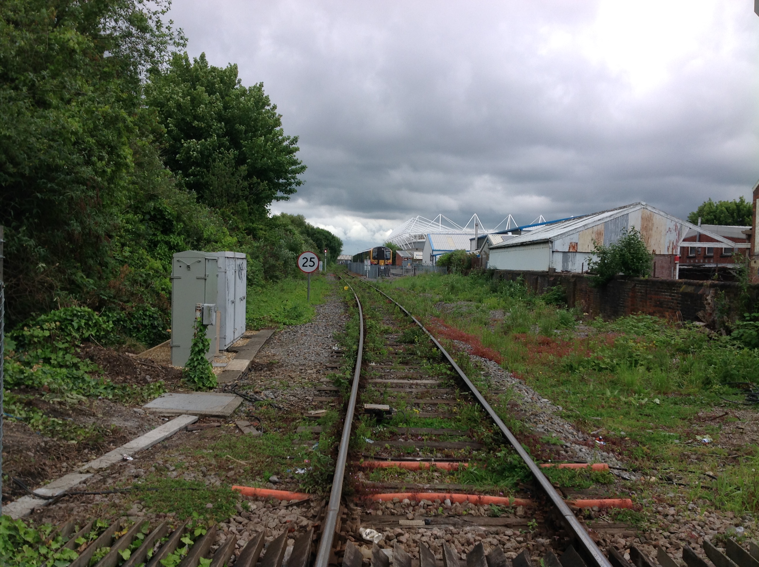
Chapel Road Level Crossing looking north, Southampton 29/05/2014 |
Class31 |
Friday 30th of May 2014 08:57:02 PM |