
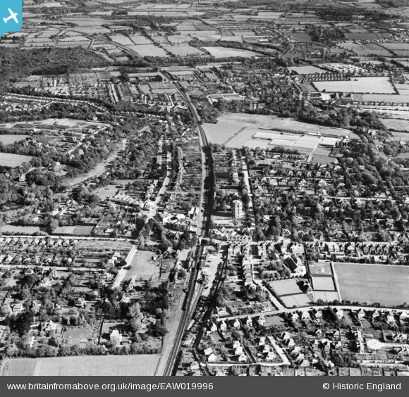
EAW019996 ENGLAND (1948). The town, New Milton, 1948
© Copyright OpenStreetMap contributors and licensed by the OpenStreetMap Foundation. 2026. Cartography is licensed as CC BY-SA.
Nearby Images (3)
EAW019996

EPW018195

EAW043408

Details
| Title | [EAW019996] The town, New Milton, 1948 |
| Reference | EAW019996 |
| Date | 19-October-1948 |
| Link | |
| Place name | NEW MILTON |
| Parish | NEW MILTON |
| District | |
| Country | ENGLAND |
| Easting / Northing | 424471, 95268 |
| Longitude / Latitude | -1.6530425434328, 50.755922519124 |
| National Grid Reference | SZ245953 |
Pins
Be the first to add a comment to this image!