
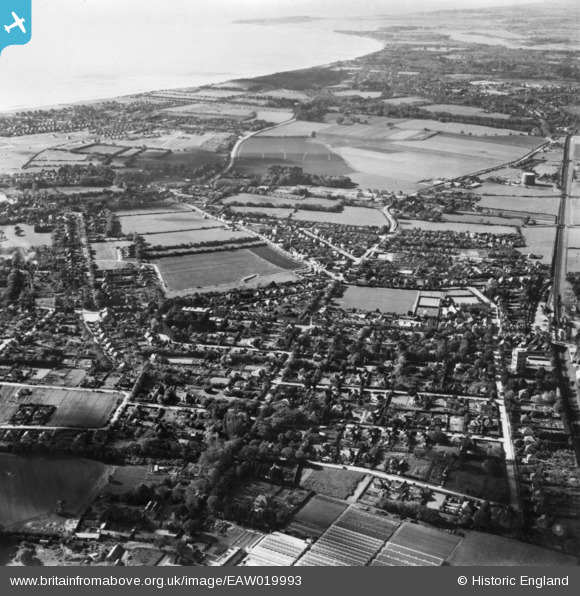
EAW019993 ENGLAND (1948). The town, New Milton, from the north-east, 1948. This image has been produced from a print.
© Copyright OpenStreetMap contributors and licensed by the OpenStreetMap Foundation. 2026. Cartography is licensed as CC BY-SA.
Nearby Images (2)
EAW019993

EPW018195

Details
| Title | [EAW019993] The town, New Milton, from the north-east, 1948. This image has been produced from a print. |
| Reference | EAW019993 |
| Date | 19-October-1948 |
| Link | |
| Place name | NEW MILTON |
| Parish | NEW MILTON |
| District | |
| Country | ENGLAND |
| Easting / Northing | 424647, 94980 |
| Longitude / Latitude | -1.6505664961417, 50.753324944525 |
| National Grid Reference | SZ246950 |
Pins
Be the first to add a comment to this image!