
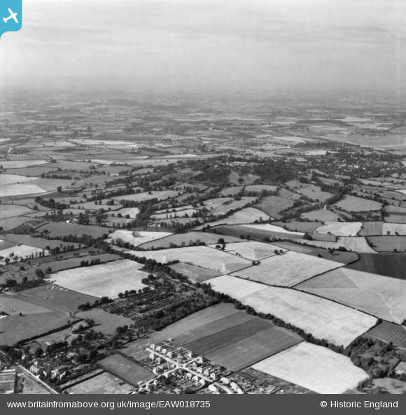
EAW018735 ENGLAND (1948). Churchdown Hill and surrounding countryside, Brockworth, from the south, 1948. This image has been produced from a print.
© Copyright OpenStreetMap contributors and licensed by the OpenStreetMap Foundation. 2026. Cartography is licensed as CC BY-SA.
Details
| Title | [EAW018735] Churchdown Hill and surrounding countryside, Brockworth, from the south, 1948. This image has been produced from a print. |
| Reference | EAW018735 |
| Date | 31-August-1948 |
| Link | |
| Place name | BROCKWORTH |
| Parish | BROCKWORTH |
| District | |
| Country | ENGLAND |
| Easting / Northing | 388460, 217201 |
| Longitude / Latitude | -2.1675650255442, 51.852839313961 |
| National Grid Reference | SO885172 |
Pins

Matt Aldred edob.mattaldred.com |
Sunday 29th of March 2026 05:58:35 PM | |

NottmJas |
Monday 9th of June 2025 08:11:18 PM | |
|
DANNO2 |
Sunday 3rd of January 2021 01:14:08 PM | |
|
gBr |
Saturday 27th of February 2016 08:34:20 PM | |
 |
Patrick Hassell |
Sunday 8th of February 2015 07:19:01 PM |
|
calladhor |
Friday 10th of October 2014 02:52:08 PM | |
|
calladhor |
Friday 10th of October 2014 02:47:09 PM | |
|
calladhor |
Friday 10th of October 2014 02:45:46 PM | |
|
calladhor |
Friday 10th of October 2014 02:44:14 PM | |
Gloucester & Cheltenham Stadium 1933 - 83 |
gBr |
Saturday 27th of February 2016 08:35:55 PM |