
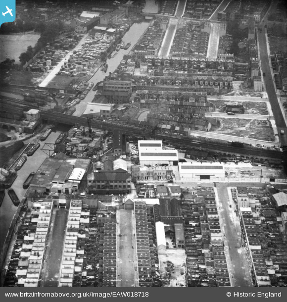
EAW018718 ENGLAND (1948). Avon Wharf, the Grand Union Canal and environs, Bow, 1948
© Copyright OpenStreetMap contributors and licensed by the OpenStreetMap Foundation. 2025. Cartography is licensed as CC BY-SA.
Nearby Images (15)
EAW018718

EAW018715

EAW018716

EPW049669
 Ltd Works and environs, Bow, 1936")
EPW049666
 Ltd Works and environs, Bow, 1936")
EPW049667
 Ltd Works and environs, Bow, 1936")
EPW049671
 Ltd Works and environs, Bow, 1936")
EPW049664
 Ltd Works and environs, Bow, 1936")
EPW049668
 Ltd Works and environs, Bow, 1936")
EAW018717

EPW049665
 Ltd Works and environs, Bow, 1936")
EAW018719

EAW018721

EAW018722

EAW018720

Details
| Title | [EAW018718] Avon Wharf, the Grand Union Canal and environs, Bow, 1948 |
| Reference | EAW018718 |
| Date | 18-September-1948 |
| Link | |
| Place name | BOW |
| Parish | |
| District | |
| Country | ENGLAND |
| Easting / Northing | 536155, 182752 |
| Longitude / Latitude | -0.037047877237952, 51.526763328701 |
| National Grid Reference | TQ362828 |
Pins

Hermann the German |
Tuesday 10th of October 2017 02:00:22 PM | |
|
Hermann the German |
Tuesday 10th of October 2017 01:58:01 PM | |
|
Hermann the German |
Tuesday 10th of October 2017 01:56:25 PM | |
|
Hermann the German |
Tuesday 10th of October 2017 01:52:12 PM | |
|
Hermann the German |
Tuesday 10th of October 2017 01:50:19 PM | |
|
Hermann the German |
Tuesday 10th of October 2017 01:48:51 PM | |
|
Hermann the German |
Tuesday 10th of October 2017 01:47:08 PM | |
|
Hermann the German |
Tuesday 10th of October 2017 11:56:31 AM | |
|
Hermann the German |
Tuesday 10th of October 2017 11:48:24 AM | |
|
Hermann the German |
Tuesday 10th of October 2017 11:45:47 AM | |
|
Hermann the German |
Tuesday 10th of October 2017 11:43:43 AM | |
|
Hermann the German |
Tuesday 10th of October 2017 11:42:31 AM | |
|
Hermann the German |
Tuesday 10th of October 2017 11:40:38 AM | |
|
Hermann the German |
Tuesday 10th of October 2017 11:38:08 AM | |
|
Hermann the German |
Tuesday 10th of October 2017 11:37:13 AM | |
|
Hermann the German |
Tuesday 10th of October 2017 11:35:35 AM | |
|
Hermann the German |
Tuesday 10th of October 2017 11:33:46 AM | |
|
Hermann the German |
Tuesday 10th of October 2017 11:13:21 AM | |
|
Hermann the German |
Tuesday 10th of October 2017 11:05:35 AM | |
|
Hermann the German |
Tuesday 10th of October 2017 11:04:47 AM | |
|
Hermann the German |
Tuesday 10th of October 2017 11:03:47 AM | |
|
Hermann the German |
Tuesday 10th of October 2017 11:02:05 AM | |
|
Hermann the German |
Monday 9th of October 2017 08:11:26 PM |