
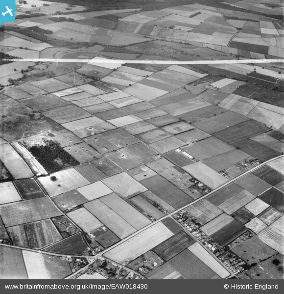
EAW018430 ENGLAND (1948). The N. W. Hempsall Ltd poultry-rearing farm and the surrounding countryside, Walesby, 1948. This image was marked by Aerofilms Ltd for photo editing.
© Copyright OpenStreetMap contributors and licensed by the OpenStreetMap Foundation. 2026. Cartography is licensed as CC BY-SA.
Nearby Images (7)
EAW018430

EAW018436

EAW018429

EAW018431

EAW018434

EAW018435

EAW018433

Details
| Title | [EAW018430] The N. W. Hempsall Ltd poultry-rearing farm and the surrounding countryside, Walesby, 1948. This image was marked by Aerofilms Ltd for photo editing. |
| Reference | EAW018430 |
| Date | 30-August-1948 |
| Link | |
| Place name | WALESBY |
| Parish | WALESBY |
| District | |
| Country | ENGLAND |
| Easting / Northing | 467412, 371198 |
| Longitude / Latitude | -0.98994207606887, 53.233252361457 |
| National Grid Reference | SK674712 |
