
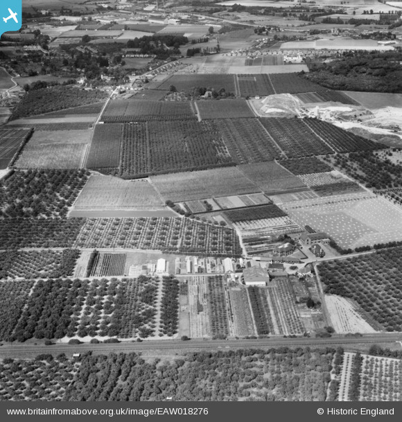
EAW018276 ENGLAND (1948). The East Malling Research Station (Horticultural) and site, Ditton, 1948
© Copyright OpenStreetMap contributors and licensed by the OpenStreetMap Foundation. 2026. Cartography is licensed as CC BY-SA.
Nearby Images (2)
EAW018276
 and site, Ditton, 1948")
EAW018275
 site, East Malling, 1948")
Details
| Title | [EAW018276] The East Malling Research Station (Horticultural) and site, Ditton, 1948 |
| Reference | EAW018276 |
| Date | 20-August-1948 |
| Link | |
| Place name | DITTON |
| Parish | DITTON |
| District | |
| Country | ENGLAND |
| Easting / Northing | 571052, 157060 |
| Longitude / Latitude | 0.45322558153471, 51.286445160723 |
| National Grid Reference | TQ711571 |
Pins
Be the first to add a comment to this image!