
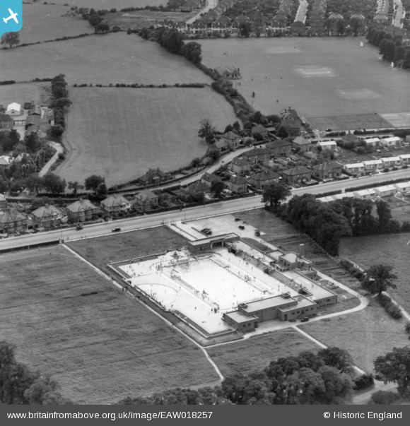
EAW018257 ENGLAND (1948). The Kingsbury Lido, Kingsbury, 1948. This image has been produced from a print.
© Copyright OpenStreetMap contributors and licensed by the OpenStreetMap Foundation. 2026. Cartography is licensed as CC BY-SA.
Nearby Images (3)
EAW018257

EPW061272

EAW018258

Details
| Title | [EAW018257] The Kingsbury Lido, Kingsbury, 1948. This image has been produced from a print. |
| Reference | EAW018257 |
| Date | 18-August-1948 |
| Link | |
| Place name | KINGSBURY |
| Parish | |
| District | |
| Country | ENGLAND |
| Easting / Northing | 520018, 188747 |
| Longitude / Latitude | -0.26752715461376, 51.584309370711 |
| National Grid Reference | TQ200887 |
