
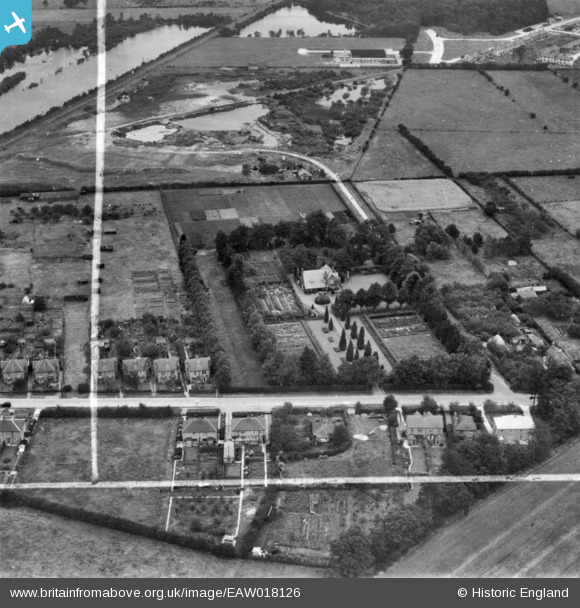
EAW018126 ENGLAND (1948). Redcote and environs, Swallow Beck, 1948. This image has been produced from a print marked by Aerofilms Ltd for photo editing.
© Copyright OpenStreetMap contributors and licensed by the OpenStreetMap Foundation. 2025. Cartography is licensed as CC BY-SA.
Nearby Images (5)
EAW018126

EAW018129

EAW018127

EAW018128

EAW018130

Details
| Title | [EAW018126] Redcote and environs, Swallow Beck, 1948. This image has been produced from a print marked by Aerofilms Ltd for photo editing. |
| Reference | EAW018126 |
| Date | 11-August-1948 |
| Link | |
| Place name | SWALLOW BECK |
| Parish | |
| District | |
| Country | ENGLAND |
| Easting / Northing | 494766, 368022 |
| Longitude / Latitude | -0.58114888013904, 53.200532518777 |
| National Grid Reference | SK948680 |
Pins
Be the first to add a comment to this image!