
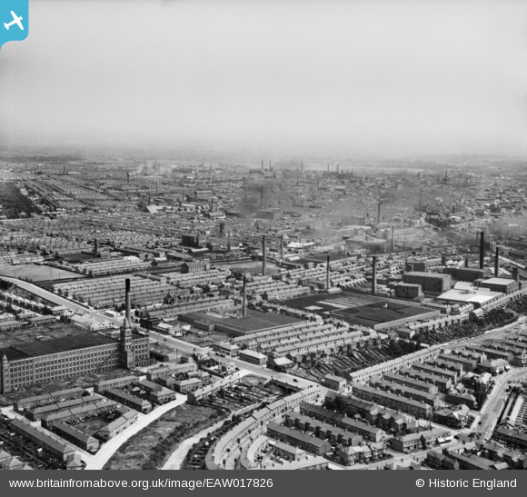
EAW017826 ENGLAND (1948). Cotton mills in the city, Preston, from the west, 1948
© Copyright OpenStreetMap contributors and licensed by the OpenStreetMap Foundation. 2026. Cartography is licensed as CC BY-SA.
Nearby Images (8)
EAW017826

EAW017813

EAW017816

EAW017817

EAW017818

EAW017812

EAW017814

EAW017815

Details
| Title | [EAW017826] Cotton mills in the city, Preston, from the west, 1948 |
| Reference | EAW017826 |
| Date | 28-July-1948 |
| Link | |
| Place name | PRESTON |
| Parish | |
| District | |
| Country | ENGLAND |
| Easting / Northing | 352363, 430771 |
| Longitude / Latitude | -2.7228452188355, 53.770881480854 |
| National Grid Reference | SD524308 |
Pins

DL |
Wednesday 11th of June 2014 09:59:26 AM | |
|
DL |
Wednesday 11th of June 2014 09:58:49 AM | |
|
DL |
Wednesday 11th of June 2014 09:56:09 AM | |
|
DL |
Wednesday 11th of June 2014 09:55:25 AM | |

Class31 |
Wednesday 5th of March 2014 03:42:27 PM | |
|
Class31 |
Wednesday 5th of March 2014 03:41:54 PM | |
|
Class31 |
Wednesday 5th of March 2014 03:41:29 PM | |
|
Robert - Cumbria |
Saturday 1st of February 2014 07:54:16 PM | |
|
Robert - Cumbria |
Saturday 1st of February 2014 07:42:51 PM | |
|
Robert - Cumbria |
Saturday 1st of February 2014 04:43:02 PM | |
|
Robert - Cumbria |
Saturday 1st of February 2014 04:04:57 PM | |
|
Robert - Cumbria |
Saturday 1st of February 2014 04:04:07 PM |