
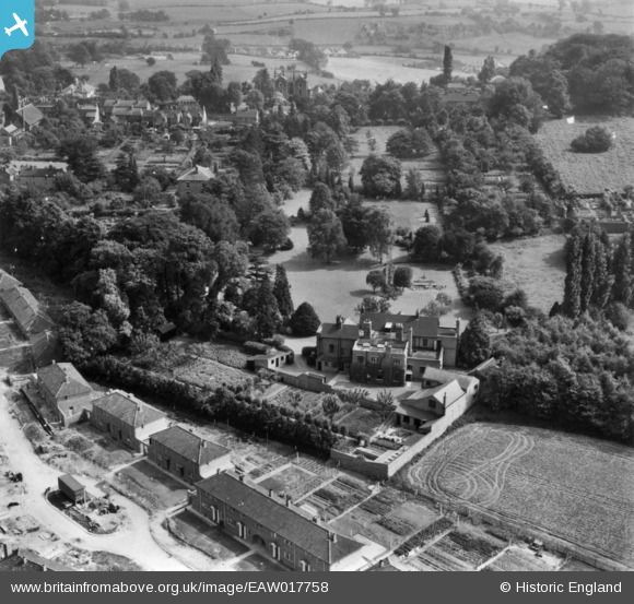
EAW017758 ENGLAND (1948). End Hall, Tettenhall Wood, 1948. This image has been produced from a print.
© Copyright OpenStreetMap contributors and licensed by the OpenStreetMap Foundation. 2026. Cartography is licensed as CC BY-SA.
Nearby Images (3)
EAW017758

EAW017757

EAW017756

Details
| Title | [EAW017758] End Hall, Tettenhall Wood, 1948. This image has been produced from a print. |
| Reference | EAW017758 |
| Date | 27-July-1948 |
| Link | |
| Place name | TETTENHALL WOOD |
| Parish | |
| District | |
| Country | ENGLAND |
| Easting / Northing | 387532, 299237 |
| Longitude / Latitude | -2.1840644325092, 52.59043425766 |
| National Grid Reference | SO875992 |
Pins
Be the first to add a comment to this image!