
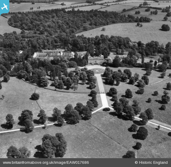
EAW017686 ENGLAND (1948). Thame Park House, Thame, 1948. This image has been produced from a print.
© Copyright OpenStreetMap contributors and licensed by the OpenStreetMap Foundation. 2026. Cartography is licensed as CC BY-SA.
Nearby Images (8)
EAW017686

EAW017685

EAW017689

EAW017684

EAW017687

EAW017683

EAW017690

EAW017688

Details
| Title | [EAW017686] Thame Park House, Thame, 1948. This image has been produced from a print. |
| Reference | EAW017686 |
| Date | 26-July-1948 |
| Link | |
| Place name | THAME |
| Parish | THAME |
| District | |
| Country | ENGLAND |
| Easting / Northing | 471579, 203763 |
| Longitude / Latitude | -0.96350967041338, 51.727552550222 |
| National Grid Reference | SP716038 |
Pins
Be the first to add a comment to this image!