
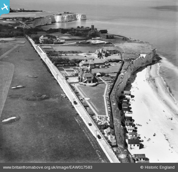
EAW017583 ENGLAND (1948). Joss Gap Road, Kingsgate, 1948. This image has been produced from a print.
© Copyright OpenStreetMap contributors and licensed by the OpenStreetMap Foundation. 2026. Cartography is licensed as CC BY-SA.
Nearby Images (7)
EAW017583

EAW017584

EAW017582

EPW018627

EAW017585

EPW018629

EPW018628

Details
| Title | [EAW017583] Joss Gap Road, Kingsgate, 1948. This image has been produced from a print. |
| Reference | EAW017583 |
| Date | 22-July-1948 |
| Link | |
| Place name | KINGSGATE |
| Parish | BROADSTAIRS AND ST. PETERS |
| District | |
| Country | ENGLAND |
| Easting / Northing | 639788, 170261 |
| Longitude / Latitude | 1.4462847295547, 51.380165249733 |
| National Grid Reference | TR398703 |
Pins

Matt Aldred edob.mattaldred.com |
Tuesday 23rd of January 2024 03:35:28 PM | |
|
Matt Aldred edob.mattaldred.com |
Monday 30th of November 2020 07:59:04 PM | |
|
Matt Aldred edob.mattaldred.com |
Monday 30th of November 2020 07:58:25 PM | |

David Emery |
Monday 6th of October 2014 08:34:41 PM | |
|
David Emery |
Monday 6th of October 2014 08:33:27 PM | |
|
David Emery |
Monday 6th of October 2014 08:26:01 PM | |
|
David Emery |
Monday 6th of October 2014 08:12:13 PM |