
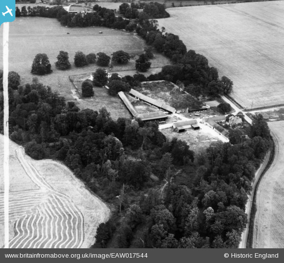
EAW017544 ENGLAND (1948). Hall Farm, Little Bentley, 1948. This image has been produced from a print marked by Aerofilms Ltd for photo editing.
© Copyright OpenStreetMap contributors and licensed by the OpenStreetMap Foundation. 2026. Cartography is licensed as CC BY-SA.
Nearby Images (4)
EAW017544

EAW017547

EAW017545

EAW017546

Details
| Title | [EAW017544] Hall Farm, Little Bentley, 1948. This image has been produced from a print marked by Aerofilms Ltd for photo editing. |
| Reference | EAW017544 |
| Date | 23-July-1948 |
| Link | |
| Place name | LITTLE BENTLEY |
| Parish | LITTLE BENTLEY |
| District | |
| Country | ENGLAND |
| Easting / Northing | 612195, 224436 |
| Longitude / Latitude | 1.0831940364416, 51.877611013513 |
| National Grid Reference | TM122244 |
Pins
Be the first to add a comment to this image!