
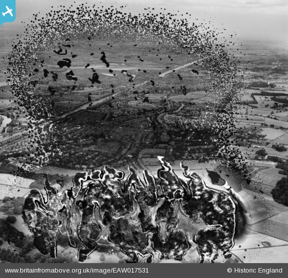
EAW017531 ENGLAND (1948). The residential area between the Manchester Ship Canal and the Bridgewater Canal, Stockton Heath, 1948. This image has been produced from a damaged negative.
© Copyright OpenStreetMap contributors and licensed by the OpenStreetMap Foundation. 2026. Cartography is licensed as CC BY-SA.
Nearby Images (2)
EAW017531

EAW017537

Details
| Title | [EAW017531] The residential area between the Manchester Ship Canal and the Bridgewater Canal, Stockton Heath, 1948. This image has been produced from a damaged negative. |
| Reference | EAW017531 |
| Date | 22-July-1948 |
| Link | |
| Place name | STOCKTON HEATH |
| Parish | STOCKTON HEATH |
| District | |
| Country | ENGLAND |
| Easting / Northing | 361367, 385813 |
| Longitude / Latitude | -2.5806644910015, 53.367504781331 |
| National Grid Reference | SJ614858 |
Pins
Be the first to add a comment to this image!