
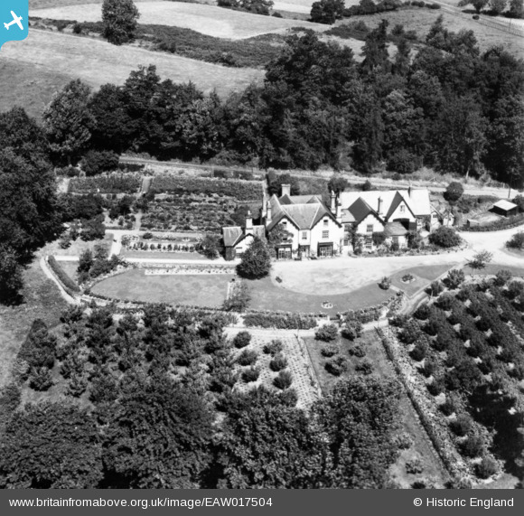
EAW017504 ENGLAND (1948). Corton House, Rodd, 1948. This image has been produced from a print.
© Copyright OpenStreetMap contributors and licensed by the OpenStreetMap Foundation. 2026. Cartography is licensed as CC BY-SA.
Nearby Images (4)
EAW017504

EAW017505

EAW017497

EAW017496

Details
| Title | [EAW017504] Corton House, Rodd, 1948. This image has been produced from a print. |
| Reference | EAW017504 |
| Date | 22-July-1948 |
| Link | |
| Place name | RODD |
| Parish | RODD, NASH AND LITTLE BRAMPTON |
| District | |
| Country | ENGLAND |
| Easting / Northing | 331970, 263282 |
| Longitude / Latitude | -2.9969234974578, 52.26309421822 |
| National Grid Reference | SO320633 |
Pins
Be the first to add a comment to this image!