
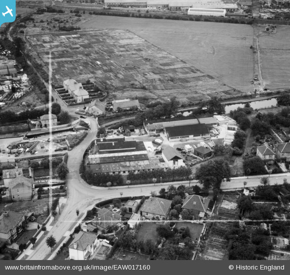
EAW017160 ENGLAND (1948). Poplar Avenue, Norwood Green, 1948. This image was marked by Aerofilms Ltd for photo editing.
© Copyright OpenStreetMap contributors and licensed by the OpenStreetMap Foundation. 2026. Cartography is licensed as CC BY-SA.
Nearby Images (8)
EAW017160

EAW017162

EAW017164

EAW017165

EAW017166

EAW017159

EAW017163

EAW017161

Details
| Title | [EAW017160] Poplar Avenue, Norwood Green, 1948. This image was marked by Aerofilms Ltd for photo editing. |
| Reference | EAW017160 |
| Date | 17-July-1948 |
| Link | |
| Place name | NORWOOD GREEN |
| Parish | |
| District | |
| Country | ENGLAND |
| Easting / Northing | 513738, 179373 |
| Longitude / Latitude | -0.36116886933245, 51.501351569658 |
| National Grid Reference | TQ137794 |
Pins
Be the first to add a comment to this image!