
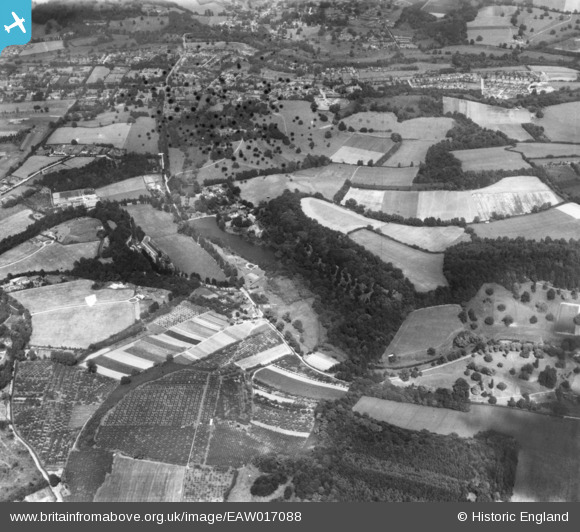
EAW017088 ENGLAND (1948). Eastwater House, East Waters and the surrounding countryside, Bramley, 1948. This image has been produced from a damaged print.
© Copyright OpenStreetMap contributors and licensed by the OpenStreetMap Foundation. 2026. Cartography is licensed as CC BY-SA.
Nearby Images (2)
EAW017088

EAW017089

Details
| Title | [EAW017088] Eastwater House, East Waters and the surrounding countryside, Bramley, 1948. This image has been produced from a damaged print. |
| Reference | EAW017088 |
| Date | 6-July-1948 |
| Link | |
| Place name | BRAMLEY |
| Parish | BRAMLEY |
| District | |
| Country | ENGLAND |
| Easting / Northing | 500154, 143837 |
| Longitude / Latitude | -0.56682799369049, 51.184457064361 |
| National Grid Reference | TQ002438 |
Pins
Be the first to add a comment to this image!