
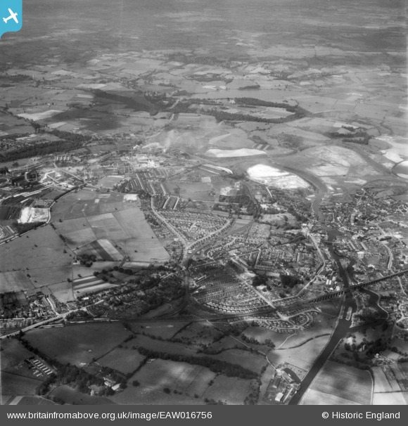
EAW016756 ENGLAND (1948). Winnington and environs, Northwich, from the south, 1948
© Copyright OpenStreetMap contributors and licensed by the OpenStreetMap Foundation. 2026. Cartography is licensed as CC BY-SA.
Nearby Images (4)
EAW016756

EAW021981

EAW023489

EAW016752

Details
| Title | [EAW016756] Winnington and environs, Northwich, from the south, 1948 |
| Reference | EAW016756 |
| Date | 23-June-1948 |
| Link | |
| Place name | NORTHWICH |
| Parish | NORTHWICH |
| District | |
| Country | ENGLAND |
| Easting / Northing | 365066, 373332 |
| Longitude / Latitude | -2.5236952659455, 53.255565952122 |
| National Grid Reference | SJ651733 |
Pins

Charlton |
Monday 4th of May 2026 04:29:05 PM | |
|
Charlton |
Monday 4th of May 2026 04:26:52 PM | |
|
Charlton |
Monday 4th of May 2026 04:24:55 PM | |
|
SallieTannis |
Saturday 20th of December 2025 09:52:13 PM | |
|
Bertmedia |
Friday 24th of March 2023 12:30:04 PM | |
|
Bertmedia |
Friday 24th of March 2023 12:29:31 PM | |
|
Bertmedia |
Friday 24th of March 2023 12:28:00 PM | |
|
Bertmedia |
Friday 24th of March 2023 12:27:27 PM | |
|
Bertmedia |
Friday 24th of March 2023 12:25:56 PM | |
|
DT |
Thursday 20th of May 2021 01:32:56 PM | |
|
DT |
Thursday 20th of May 2021 01:32:38 PM | |
|
DT |
Thursday 20th of May 2021 01:31:06 PM | |
|
DT |
Thursday 20th of May 2021 01:27:49 PM | |
|
DT |
Saturday 26th of December 2020 04:08:42 PM |