
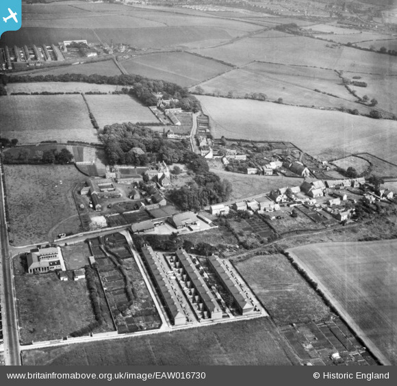
EAW016730 ENGLAND (1948). The village, Walbottle, 1948
© Copyright OpenStreetMap contributors and licensed by the OpenStreetMap Foundation. 2026. Cartography is licensed as CC BY-SA.
Nearby Images (4)
EAW016730

EAW016729

EAW016731

EAW016728

Details
| Title | [EAW016730] The village, Walbottle, 1948 |
| Reference | EAW016730 |
| Date | 23-June-1948 |
| Link | |
| Place name | WALBOTTLE |
| Parish | |
| District | |
| Country | ENGLAND |
| Easting / Northing | 417023, 566354 |
| Longitude / Latitude | -1.7339155722757, 54.991408300548 |
| National Grid Reference | NZ170664 |
