
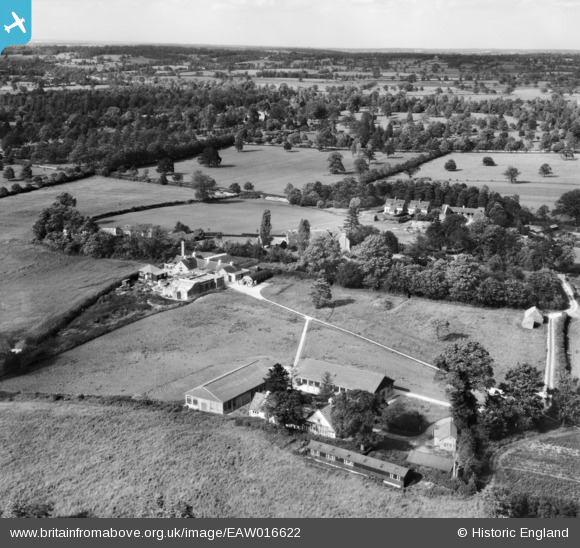
EAW016622 ENGLAND (1948). The Lister Institute of Preventive Medicine, Aldenham, from the south-west, 1948
© Copyright OpenStreetMap contributors and licensed by the OpenStreetMap Foundation. 2026. Cartography is licensed as CC BY-SA.
Nearby Images (3)
EAW016622

EAW016621

EAW016623

Details
| Title | [EAW016622] The Lister Institute of Preventive Medicine, Aldenham, from the south-west, 1948 |
| Reference | EAW016622 |
| Date | 17-June-1948 |
| Link | |
| Place name | ALDENHAM |
| Parish | ALDENHAM |
| District | |
| Country | ENGLAND |
| Easting / Northing | 516257, 195713 |
| Longitude / Latitude | -0.31948059085471, 51.647711597316 |
| National Grid Reference | TQ163957 |
Pins
Be the first to add a comment to this image!