
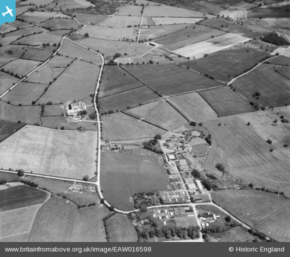
EAW016598 ENGLAND (1948). Little Horwood Manor and surrounding countryside, Little Horwood, 1948
© Copyright OpenStreetMap contributors and licensed by the OpenStreetMap Foundation. 2026. Cartography is licensed as CC BY-SA.
Nearby Images (15)
EAW016598

EAW011450

EAW011447

EAW011448

EAW011446

EAW016599

EAW011449

EAW016597

EAW011451

EAW016601

EAW008232

EAW008228

EAW016600

EAW005542

EAW008229

Details
| Title | [EAW016598] Little Horwood Manor and surrounding countryside, Little Horwood, 1948 |
| Reference | EAW016598 |
| Date | 16-June-1948 |
| Link | |
| Place name | LITTLE HORWOOD |
| Parish | LITTLE HORWOOD |
| District | |
| Country | ENGLAND |
| Easting / Northing | 479368, 231787 |
| Longitude / Latitude | -0.84430898785594, 51.978443635591 |
| National Grid Reference | SP794318 |
Pins

Matt Aldred edob.mattaldred.com |
Monday 11th of March 2024 02:13:54 PM | |

totoro |
Sunday 30th of November 2014 03:51:21 PM | |
|
totoro |
Sunday 30th of November 2014 03:49:00 PM | |
|
totoro |
Sunday 30th of November 2014 03:47:46 PM | |
|
totoro |
Sunday 30th of November 2014 03:47:01 PM | |
|
totoro |
Sunday 30th of November 2014 03:44:58 PM | |
|
totoro |
Sunday 30th of November 2014 03:42:52 PM | |
|
totoro |
Sunday 30th of November 2014 03:40:51 PM | |
|
totoro |
Sunday 30th of November 2014 03:39:17 PM | |
|
totoro |
Sunday 30th of November 2014 03:36:35 PM |