
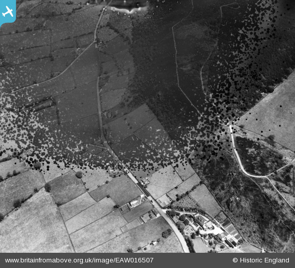
EAW016507 ENGLAND (1948). Tunstall Road and the area around The Catstones and Cloud Plantation, Timbersbrook, 1948. This image has been produced from a damaged negative.
© Copyright OpenStreetMap contributors and licensed by the OpenStreetMap Foundation. 2026. Cartography is licensed as CC BY-SA.
Nearby Images (3)
EAW016507

EAW016506
 and the area around Cloud Side and Cloud Plantation, Timbersbrook, 1948. This image has been produced from a damaged negative.")
EAW016505

Details
| Title | [EAW016507] Tunstall Road and the area around The Catstones and Cloud Plantation, Timbersbrook, 1948. This image has been produced from a damaged negative. |
| Reference | EAW016507 |
| Date | 11-June-1948 |
| Link | |
| Place name | TIMBERSBROOK |
| Parish | CONGLETON |
| District | |
| Country | ENGLAND |
| Easting / Northing | 389828, 363326 |
| Longitude / Latitude | -2.1521724941796, 53.166665940084 |
| National Grid Reference | SJ898633 |
Pins
Be the first to add a comment to this image!