
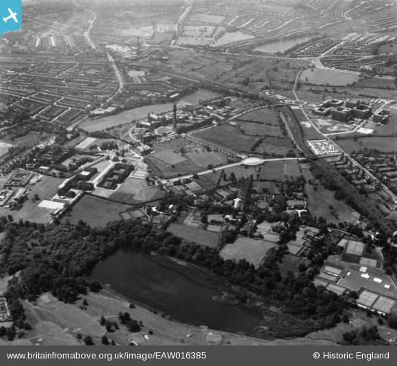
EAW016385 ENGLAND (1948). The University of Birmingham and environs, Edgbaston, 1948. This image has been produced from a print.
© Copyright OpenStreetMap contributors and licensed by the OpenStreetMap Foundation. 2026. Cartography is licensed as CC BY-SA.
Nearby Images (5)
EAW016385

EAW016384

EPW059859

EAW016383

EPW022590

Details
| Title | [EAW016385] The University of Birmingham and environs, Edgbaston, 1948. This image has been produced from a print. |
| Reference | EAW016385 |
| Date | 9-June-1948 |
| Link | |
| Place name | EDGBASTON |
| Parish | |
| District | |
| Country | ENGLAND |
| Easting / Northing | 405022, 283820 |
| Longitude / Latitude | -1.9260932855791, 52.451940795945 |
| National Grid Reference | SP050838 |
Pins

Bill |
Tuesday 6th of January 2026 10:41:04 AM | |
|
HowieTheDuck |
Wednesday 24th of April 2024 05:55:25 PM | |
|
SteveN |
Friday 7th of April 2023 10:06:17 PM | |
|
SteveN |
Friday 7th of April 2023 09:57:49 PM | |
|
SteveN |
Friday 7th of April 2023 09:56:37 PM | |
|
6Triple8 |
Wednesday 5th of April 2023 07:50:47 PM | |
|
Post-war prefabs |
Thursday 10th of February 2022 11:20:28 AM | |
|
SteveN |
Sunday 12th of February 2017 02:42:27 PM |
User Comment Contributions

University of Birmingham, Edgbaston, 15/08/2015 |

Class31 |
Wednesday 19th of August 2015 02:05:21 PM |