EAW016234 ENGLAND (1948). The heath, Blackheath, from the north-east, 1948

© Copyright OpenStreetMap contributors and licensed by the OpenStreetMap Foundation. 2026. Cartography is licensed as CC BY-SA.
Nearby Images (2)
EAW016234

EAW016235

Details
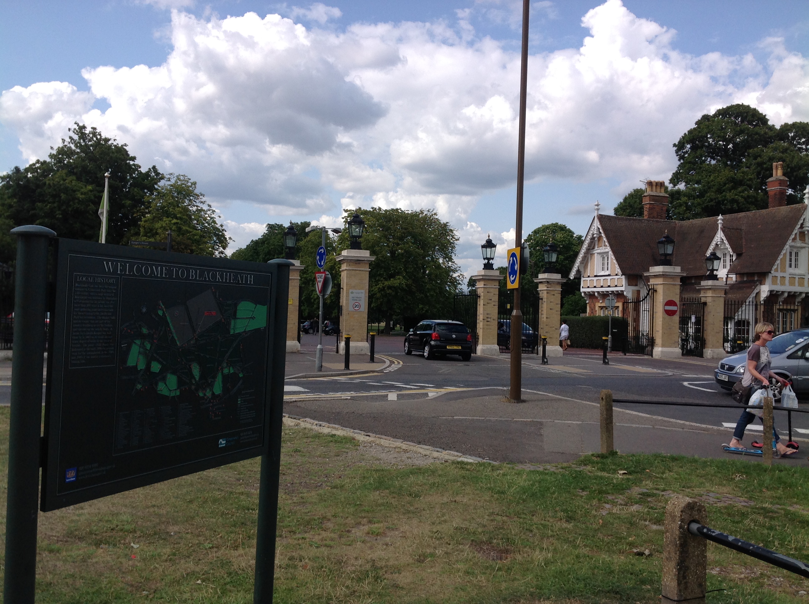
| Title | [EAW016234] The heath, Blackheath, from the north-east, 1948 |
| Reference | EAW016234 |
| Date | 8-June-1948 |
| Link | |
| Place name | BLACKHEATH |
| Parish | |
| District | |
| Country | ENGLAND |
| Easting / Northing | 539666, 176790 |
| Longitude / Latitude | 0.011176566221239, 51.472325514506 |
| National Grid Reference | TQ397768 |
Pins

Post-war prefabs |
Monday 21st of October 2019 10:06:31 AM | |
This is not Pond Road , but St. Germans Place |
R Land |
Friday 16th of October 2020 10:01:15 AM |
|
Post-war prefabs |
Monday 21st of October 2019 10:04:39 AM | |
|
Post-war prefabs |
Monday 21st of October 2019 10:02:43 AM | |

Class31 |
Sunday 8th of May 2016 07:52:07 AM | |
|
David960 |
Saturday 31st of January 2015 05:59:59 PM | |
 |
Class31 |
Thursday 7th of August 2014 09:00:28 AM |
|
Al |
Tuesday 11th of March 2014 12:50:56 AM | |

Alan McFaden |
Saturday 4th of January 2014 01:36:00 PM |