
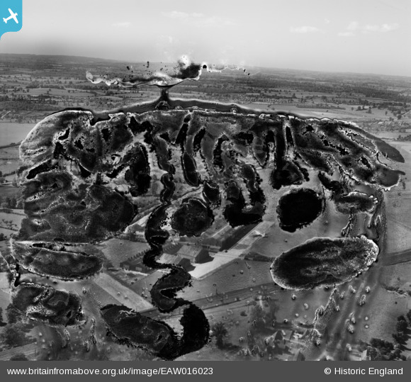
EAW016023 ENGLAND (1948). Radlett Aerodrome, Frogmore, from the south-east, 1948. This image has been produced from a damaged negative.
© Copyright OpenStreetMap contributors and licensed by the OpenStreetMap Foundation. 2026. Cartography is licensed as CC BY-SA.
Nearby Images (3)
EAW016023

EAW016022

EAW004922

Details
| Title | [EAW016023] Radlett Aerodrome, Frogmore, from the south-east, 1948. This image has been produced from a damaged negative. |
| Reference | EAW016023 |
| Date | 19-May-1948 |
| Link | |
| Place name | FROGMORE |
| Parish | ST. STEPHEN |
| District | |
| Country | ENGLAND |
| Easting / Northing | 515706, 202191 |
| Longitude / Latitude | -0.32529483630075, 51.706052103751 |
| National Grid Reference | TL157022 |
Pins
Be the first to add a comment to this image!