
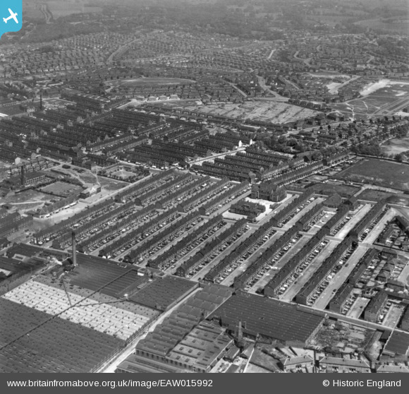
EAW015992 ENGLAND (1948). Terraced housing around Sutherland Road, Burmantofts, 1948. This image has been produced from a print.
© Copyright OpenStreetMap contributors and licensed by the OpenStreetMap Foundation. 2025. Cartography is licensed as CC BY-SA.
Nearby Images (2)
EAW015992

EPW024318

Details
| Title | [EAW015992] Terraced housing around Sutherland Road, Burmantofts, 1948. This image has been produced from a print. |
| Reference | EAW015992 |
| Date | 19-May-1948 |
| Link | |
| Place name | BURMANTOFTS |
| Parish | |
| District | |
| Country | ENGLAND |
| Easting / Northing | 432455, 434753 |
| Longitude / Latitude | -1.507095915319, 53.80784199195 |
| National Grid Reference | SE325348 |
Pins

Brick Collector |
Sunday 11th of October 2015 09:57:45 PM | |
|
Brick Collector |
Sunday 11th of October 2015 09:56:43 PM | |
|
Brick Collector |
Sunday 11th of October 2015 09:55:56 PM | |
|
Brick Collector |
Sunday 11th of October 2015 09:55:04 PM |