
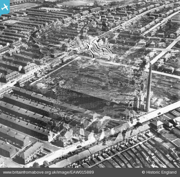
EAW015889 ENGLAND (1948). The Cliff Cotton Mill, Fishwick, 1948. This image has been produced from a damaged negative.
© Copyright OpenStreetMap contributors and licensed by the OpenStreetMap Foundation. 2026. Cartography is licensed as CC BY-SA.
Nearby Images (7)
EAW015889

EAW015892

EAW015888

EAW015891

EAW015890

EAW015894

EAW015893

Details
| Title | [EAW015889] The Cliff Cotton Mill, Fishwick, 1948. This image has been produced from a damaged negative. |
| Reference | EAW015889 |
| Date | 20-May-1948 |
| Link | |
| Place name | FISHWICK |
| Parish | |
| District | |
| Country | ENGLAND |
| Easting / Northing | 355709, 429742 |
| Longitude / Latitude | -2.671929211256, 53.761927711574 |
| National Grid Reference | SD557297 |
Pins
Be the first to add a comment to this image!