
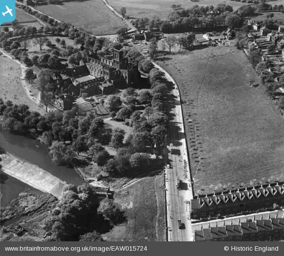
EAW015724 ENGLAND (1948). Kirkstall Abbey, Kirkstall, 1948
© Copyright OpenStreetMap contributors and licensed by the OpenStreetMap Foundation. 2025. Cartography is licensed as CC BY-SA.
Nearby Images (12)
EAW015724

EPW057193

EPW038682

EPW024344

EPW015921

EPW009406

EPW015920

EPW015922

EPW057192

EAW015725

EAW015727

EAW015726

Details
| Title | [EAW015724] Kirkstall Abbey, Kirkstall, 1948 |
| Reference | EAW015724 |
| Date | 18-May-1948 |
| Link | |
| Place name | KIRKSTALL |
| Parish | |
| District | |
| Country | ENGLAND |
| Easting / Northing | 426099, 436073 |
| Longitude / Latitude | -1.6035116241931, 53.820065000436 |
| National Grid Reference | SE261361 |
Pins

MB |
Friday 24th of January 2014 10:25:10 AM |
User Comment Contributions
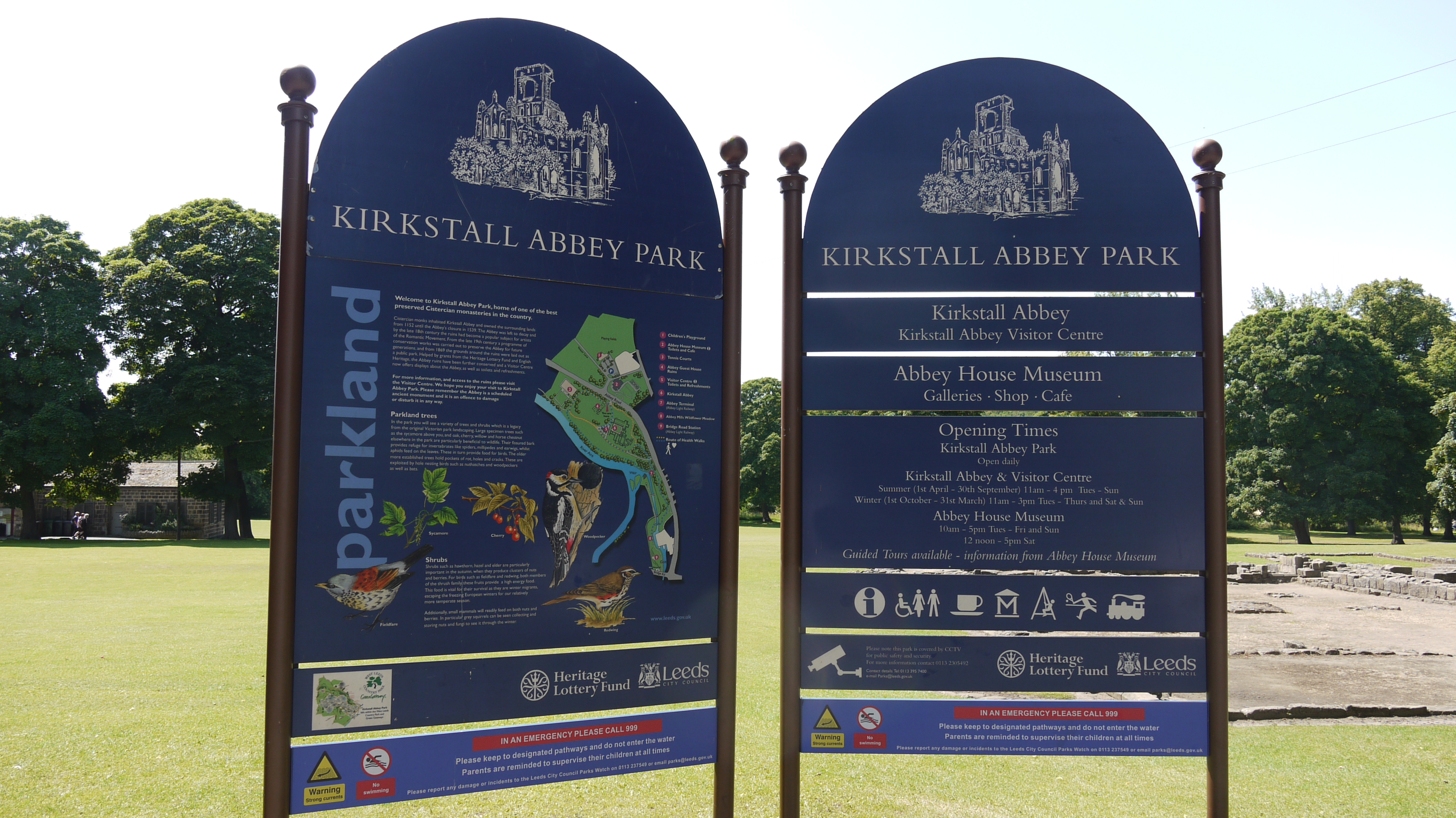
Information Boards Kirkstall Abbey, Leeds, 15/07/2015 |

Class31 |
Thursday 6th of August 2015 07:12:44 PM |