
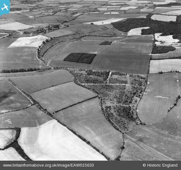
EAW015633 ENGLAND (1948). Highdown, Cleve Hill Down and surrounding countryside, Linkenholt, 1948. This image has been produced from a print.
© Copyright OpenStreetMap contributors and licensed by the OpenStreetMap Foundation. 2026. Cartography is licensed as CC BY-SA.
Nearby Images (2)
EAW015633

EAW015629

Details
| Title | [EAW015633] Highdown, Cleve Hill Down and surrounding countryside, Linkenholt, 1948. This image has been produced from a print. |
| Reference | EAW015633 |
| Date | 14-May-1948 |
| Link | |
| Place name | LINKENHOLT |
| Parish | LINKENHOLT |
| District | |
| Country | ENGLAND |
| Easting / Northing | 437279, 158981 |
| Longitude / Latitude | -1.4648934109963, 51.328200789066 |
| National Grid Reference | SU373590 |
Pins
Be the first to add a comment to this image!