
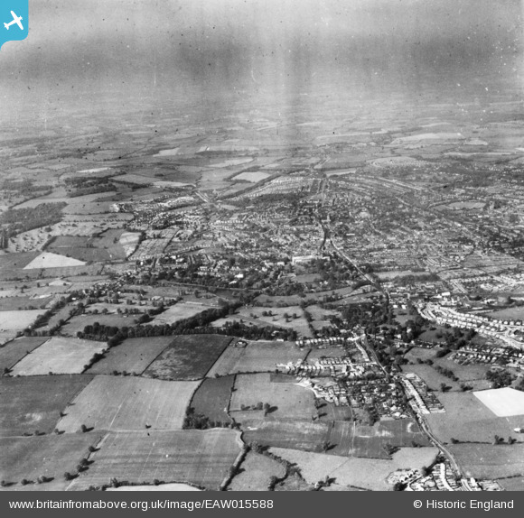
EAW015588 ENGLAND (1948). The city, St Albans, from the south-west, 1948. This image has been produced from a print.
© Copyright OpenStreetMap contributors and licensed by the OpenStreetMap Foundation. 2026. Cartography is licensed as CC BY-SA.
Nearby Images (2)
EAW015588

EAW015592

Details
| Title | [EAW015588] The city, St Albans, from the south-west, 1948. This image has been produced from a print. |
| Reference | EAW015588 |
| Date | 13-May-1948 |
| Link | |
| Place name | ST ALBANS |
| Parish | |
| District | |
| Country | ENGLAND |
| Easting / Northing | 513694, 206245 |
| Longitude / Latitude | -0.35307920097962, 51.742902645879 |
| National Grid Reference | TL137062 |
Pins
Be the first to add a comment to this image!