
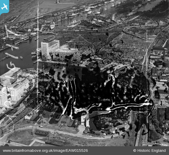
EAW015526 ENGLAND (1948). Victoria Graving Dock (site of), Silvertown, 1948. This image has been produced from a damaged negative.
© Copyright OpenStreetMap contributors and licensed by the OpenStreetMap Foundation. 2026. Cartography is licensed as CC BY-SA.
Nearby Images (36)
EAW015526
, Silvertown, 1948. This image has been produced from a damaged negative.")
EAW035764

EAW015522
, Silvertown, 1948. This image has been produced from a damaged negative.")
EAW035968

EAW015527
 and the River Thames, Silvertown, 1948. This image has been produced from a damaged negative.")
EAW015531
 and environs, Silvertown, 1948. This image has been produced from a damaged negative.")
EAW035964

EAW035966

EAW015532
 and environs, Silvertown, 1948. This image has been produced from a damaged negative.")
EAW035760

EAW035961

EAW035965

EAW035761

EAW015524
, Silvertown, 1948. This image has been produced from a damaged negative.")
EAW015530
 and environs, Silvertown, 1948. This image has been produced from a damaged negative.")
EAW015525
, Silvertown, 1948. This image has been produced from a damaged negative.")
EPW053024

EAW035967

EPW005308

EAW015528
 and the River Thames, Silvertown, 1948. This image has been produced from a damaged negative.")
EAW035762

EAW035962

EAW015523
 and the River Thames, Silvertown, 1948. This image has been produced from a damaged negative.")
EAW035963

EPW053023

EAW035763

EPW053027

EPW044123

EPW053179

EAW015529
 and the River Thames, Silvertown, 1948. This image has been produced from a damaged negative.")
EPW053182

EAW021715

EPW053181

EPW053180

EPW008883

EPW059357A

Details
| Title | [EAW015526] Victoria Graving Dock (site of), Silvertown, 1948. This image has been produced from a damaged negative. |
| Reference | EAW015526 |
| Date | 14-May-1948 |
| Link | |
| Place name | SILVERTOWN |
| Parish | |
| District | |
| Country | ENGLAND |
| Easting / Northing | 541205, 180291 |
| Longitude / Latitude | 0.034723611969261, 51.503406441683 |
| National Grid Reference | TQ412803 |
Pins

Class31 |
Saturday 28th of February 2015 08:56:07 AM |