
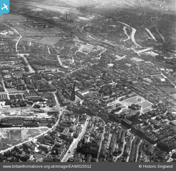
EAW015512 ENGLAND (1948). The city centre, Wakefield, 1948. This image has been produced from a print.
© Copyright OpenStreetMap contributors and licensed by the OpenStreetMap Foundation. 2026. Cartography is licensed as CC BY-SA.
Nearby Images (16)
EAW015512

EPW061508

EAW025174

EAW025172

EAW015516

EPW016285

EPW061504

EPW016289

EPW039103

EAW015510

EAW025173

EAW015513

EPW039104

EPW039105

EAW015511

EPW016287

Details
| Title | [EAW015512] The city centre, Wakefield, 1948. This image has been produced from a print. |
| Reference | EAW015512 |
| Date | 14-May-1948 |
| Link | |
| Place name | WAKEFIELD |
| Parish | |
| District | |
| Country | ENGLAND |
| Easting / Northing | 433405, 420703 |
| Longitude / Latitude | -1.4941875971063, 53.681490016371 |
| National Grid Reference | SE334207 |
Pins
Be the first to add a comment to this image!