
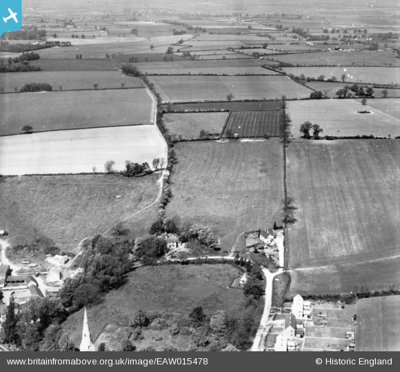
EAW015478 ENGLAND (1948). Countryside to the north-west of the village, Keyston, 1948. This image has been produced from a print.
© Copyright OpenStreetMap contributors and licensed by the OpenStreetMap Foundation. 2025. Cartography is licensed as CC BY-SA.
Nearby Images (3)
EAW015478

EAW015477

EAW015479

Details
| Title | [EAW015478] Countryside to the north-west of the village, Keyston, 1948. This image has been produced from a print. |
| Reference | EAW015478 |
| Date | 13-May-1948 |
| Link | |
| Place name | KEYSTON |
| Parish | BYTHORN AND KEYSTON |
| District | |
| Country | ENGLAND |
| Easting / Northing | 504076, 275722 |
| Longitude / Latitude | -0.47117142633789, 52.36926558936 |
| National Grid Reference | TL041757 |
Pins

P Bellamy |
Saturday 20th of October 2018 10:57:28 PM |