
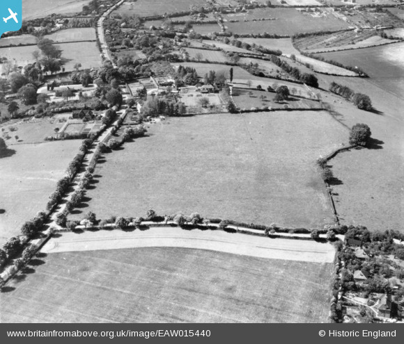
EAW015440 ENGLAND (1948). Scrubb's Lane, Chinnor Road, the Old House and surrounding countryside, Bledlow Ridge, 1948. This image has been produced from a print.
© Copyright OpenStreetMap contributors and licensed by the OpenStreetMap Foundation. 2025. Cartography is licensed as CC BY-SA.
Nearby Images (5)
EAW015440

EAW015439

EAW015438

EAW015436

EAW015437

Details
| Title | [EAW015440] Scrubb's Lane, Chinnor Road, the Old House and surrounding countryside, Bledlow Ridge, 1948. This image has been produced from a print. |
| Reference | EAW015440 |
| Date | 13-May-1948 |
| Link | |
| Place name | BLEDLOW RIDGE |
| Parish | BLEDLOW-CUM-SAUNDERTON |
| District | |
| Country | ENGLAND |
| Easting / Northing | 480494, 197134 |
| Longitude / Latitude | -0.83597457787961, 51.666746234775 |
| National Grid Reference | SU805971 |
Pins
Be the first to add a comment to this image!