
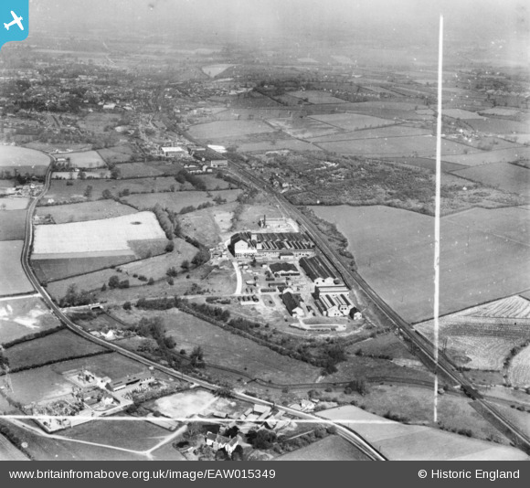
EAW015349 ENGLAND (1948). Cedars Malt Products Factory (Munton & Fison Ltd) and the surrounding area, Stowmarket, from the south-east, 1948. This image has been produced from a print marked by Aerofilms Ltd for photo editing.
© Copyright OpenStreetMap contributors and licensed by the OpenStreetMap Foundation. 2026. Cartography is licensed as CC BY-SA.
Nearby Images (5)
EAW015349
 and the surrounding area, Stowmarket, from the south-east, 1948. This image has been produced from a print marked by Aerofilms Ltd for photo editing.")
EPW024994

EAW015354
, Stowmarket, 1948. This image has been produced from a print marked by Aerofilms Ltd for photo editing.")
EAW015353
, Stowmarket, 1948. This image has been produced from a print marked by Aerofilms Ltd for photo editing.")
EAW015352
, Stowmarket, 1948. This image has been produced from a print.")
Details
| Title | [EAW015349] Cedars Malt Products Factory (Munton & Fison Ltd) and the surrounding area, Stowmarket, from the south-east, 1948. This image has been produced from a print marked by Aerofilms Ltd for photo editing. |
| Reference | EAW015349 |
| Date | 7-May-1948 |
| Link | |
| Place name | STOWMARKET |
| Parish | STOWMARKET |
| District | |
| Country | ENGLAND |
| Easting / Northing | 606568, 257096 |
| Longitude / Latitude | 1.0212719409496, 52.172986680917 |
| National Grid Reference | TM066571 |
Pins

Matt Aldred edob.mattaldred.com |
Thursday 7th of March 2024 09:46:29 AM | |
|
Matt Aldred edob.mattaldred.com |
Thursday 7th of March 2024 09:46:13 AM |