
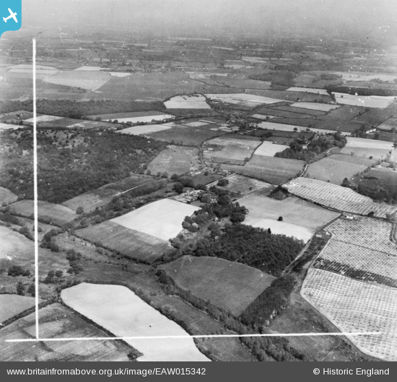
EAW015342 ENGLAND (1948). Dodnash Priory and the surrounding countryside, Bentley, from the south-east, 1948. This image has been produced from a print marked by Aerofilms Ltd for photo editing.
© Copyright OpenStreetMap contributors and licensed by the OpenStreetMap Foundation. 2026. Cartography is licensed as CC BY-SA.
Nearby Images (2)
EAW015342

EAW015341
 and the surrounding countryside, Bentley, 1948. This image has been produced from a damaged negative.")
Details
| Title | [EAW015342] Dodnash Priory and the surrounding countryside, Bentley, from the south-east, 1948. This image has been produced from a print marked by Aerofilms Ltd for photo editing. |
| Reference | EAW015342 |
| Date | 7-May-1948 |
| Link | |
| Place name | BENTLEY |
| Parish | BENTLEY |
| District | |
| Country | ENGLAND |
| Easting / Northing | 611278, 235650 |
| Longitude / Latitude | 1.0767748910771, 51.978648599574 |
| National Grid Reference | TM113357 |
Pins
Be the first to add a comment to this image!