
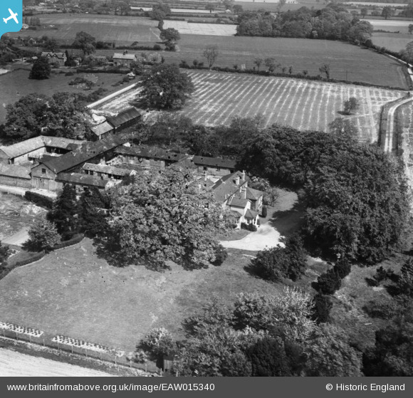
EAW015340 ENGLAND (1948). Dodnash Priory Farm, Bentley, 1948
© Copyright OpenStreetMap contributors and licensed by the OpenStreetMap Foundation. 2026. Cartography is licensed as CC BY-SA.
Nearby Images (3)
EAW015340

EAW015343

EAW015341
 and the surrounding countryside, Bentley, 1948. This image has been produced from a damaged negative.")
Details
| Title | [EAW015340] Dodnash Priory Farm, Bentley, 1948 |
| Reference | EAW015340 |
| Date | 7-May-1948 |
| Link | |
| Place name | BENTLEY |
| Parish | BENTLEY |
| District | |
| Country | ENGLAND |
| Easting / Northing | 611187, 235937 |
| Longitude / Latitude | 1.0756283910871, 51.981260108389 |
| National Grid Reference | TM112359 |
Pins
Be the first to add a comment to this image!