
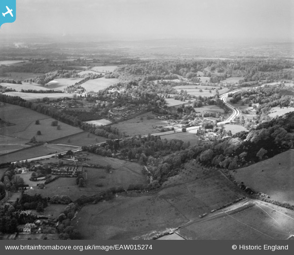
EAW015274 ENGLAND (1948). The A24 London Road, Pixham, from the south-east, 1948
© Copyright OpenStreetMap contributors and licensed by the OpenStreetMap Foundation. 2026. Cartography is licensed as CC BY-SA.
Nearby Images (7)
EAW015274

EPW053831

EPW053828

EPW053833

EPW053827

EAW003358

EPW053830

Details
| Title | [EAW015274] The A24 London Road, Pixham, from the south-east, 1948 |
| Reference | EAW015274 |
| Date | 6-May-1948 |
| Link | |
| Place name | PIXHAM |
| Parish | |
| District | |
| Country | ENGLAND |
| Easting / Northing | 517290, 151131 |
| Longitude / Latitude | -0.31933584210213, 51.246763599854 |
| National Grid Reference | TQ173511 |
Pins

Matt Aldred edob.mattaldred.com |
Monday 2nd of October 2023 06:09:56 PM | |

jrussill |
Thursday 25th of June 2015 12:29:07 PM |
User Comment Contributions

WW2 Anti Tank Cylinders |
jrussill |
Thursday 25th of June 2015 12:29:57 PM |