
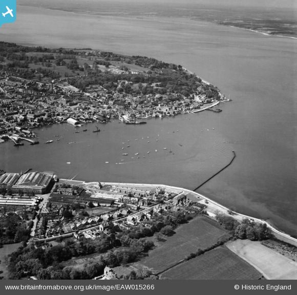
EAW015266 ENGLAND (1948). The harbour, Cowes, from the east, 1948
© Copyright OpenStreetMap contributors and licensed by the OpenStreetMap Foundation. 2026. Cartography is licensed as CC BY-SA.
Nearby Images (2)
EAW015266

EPW022950

Details
| Title | [EAW015266] The harbour, Cowes, from the east, 1948 |
| Reference | EAW015266 |
| Date | 6-May-1948 |
| Link | |
| Place name | COWES |
| Parish | EAST COWES |
| District | |
| Country | ENGLAND |
| Easting / Northing | 450307, 96083 |
| Longitude / Latitude | -1.2866427882429, 50.76158688319 |
| National Grid Reference | SZ503961 |
Pins

forostar |
Sunday 3rd of November 2019 03:33:29 PM | |
|
ken |
Saturday 13th of June 2015 02:17:05 PM | |
|
mannidaze |
Tuesday 11th of November 2014 09:18:26 PM |