
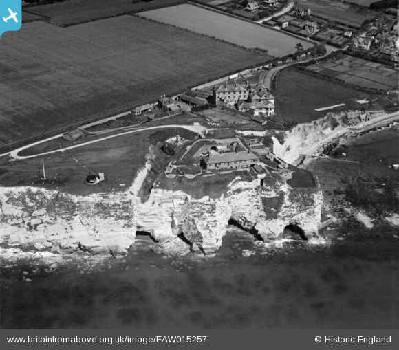
EAW015257 ENGLAND (1948). Freshwater (Fort) Redoubt, Freshwater Bay, 1948
© Copyright OpenStreetMap contributors and licensed by the OpenStreetMap Foundation. 2026. Cartography is licensed as CC BY-SA.
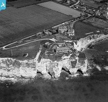
Nearby Images (8)
EAW015257
 Redoubt, Freshwater Bay, 1948")
EAW022206

EPW022997

EAW038602

EPW022994

EAW038603

EAW022205

EPW022991

Details
| Title | [EAW015257] Freshwater (Fort) Redoubt, Freshwater Bay, 1948 |
| Reference | EAW015257 |
| Date | 6-May-1948 |
| Link | |
| Place name | FRESHWATER BAY |
| Parish | FRESHWATER |
| District | |
| Country | ENGLAND |
| Easting / Northing | 434416, 85539 |
| Longitude / Latitude | -1.5129514247577, 50.667921080892 |
| National Grid Reference | SZ344855 |
Pins

jrussill |
Sunday 12th of January 2014 08:15:39 PM |
User Comment Contributions
Freshwater Bay Redoubt |
jrussill |
Sunday 12th of January 2014 08:16:10 PM |