
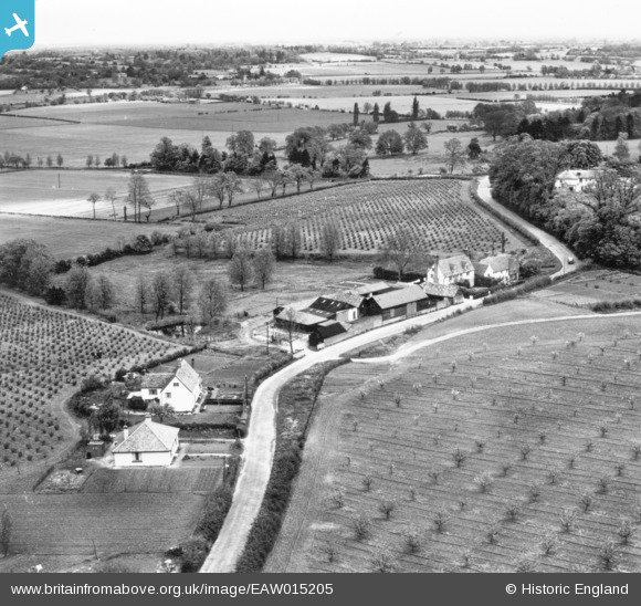
EAW015205 ENGLAND (1948). Martin's Farm, Langham, from the south-west, 1948. This image has been produced from a print.
© Copyright OpenStreetMap contributors and licensed by the OpenStreetMap Foundation. 2025. Cartography is licensed as CC BY-SA.
Nearby Images (2)
EAW015205

EAW015209

Details
| Title | [EAW015205] Martin's Farm, Langham, from the south-west, 1948. This image has been produced from a print. |
| Reference | EAW015205 |
| Date | 5-May-1948 |
| Link | |
| Place name | LANGHAM |
| Parish | LANGHAM |
| District | |
| Country | ENGLAND |
| Easting / Northing | 602547, 233163 |
| Longitude / Latitude | 0.94834683481571, 51.959566876575 |
| National Grid Reference | TM025332 |
Pins
Be the first to add a comment to this image!