
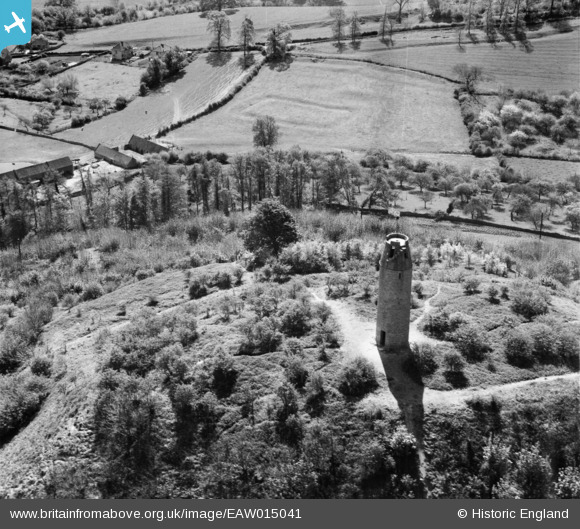
EAW015041 ENGLAND (1948). Tower on St Michael's Hill, Montacute, 1948
© Copyright OpenStreetMap contributors and licensed by the OpenStreetMap Foundation. 2026. Cartography is licensed as CC BY-SA.
Nearby Images (3)
EAW015041

EAW015040

EAW015042

Details
| Title | [EAW015041] Tower on St Michael's Hill, Montacute, 1948 |
| Reference | EAW015041 |
| Date | 27-April-1948 |
| Link | |
| Place name | MONTACUTE |
| Parish | MONTACUTE |
| District | |
| Country | ENGLAND |
| Easting / Northing | 349398, 116927 |
| Longitude / Latitude | -2.7204221724646, 50.949006966635 |
| National Grid Reference | ST494169 |
Pins
Be the first to add a comment to this image!